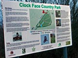
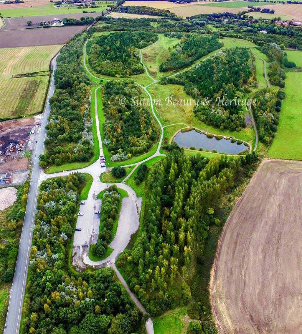
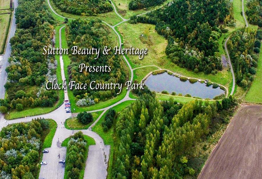
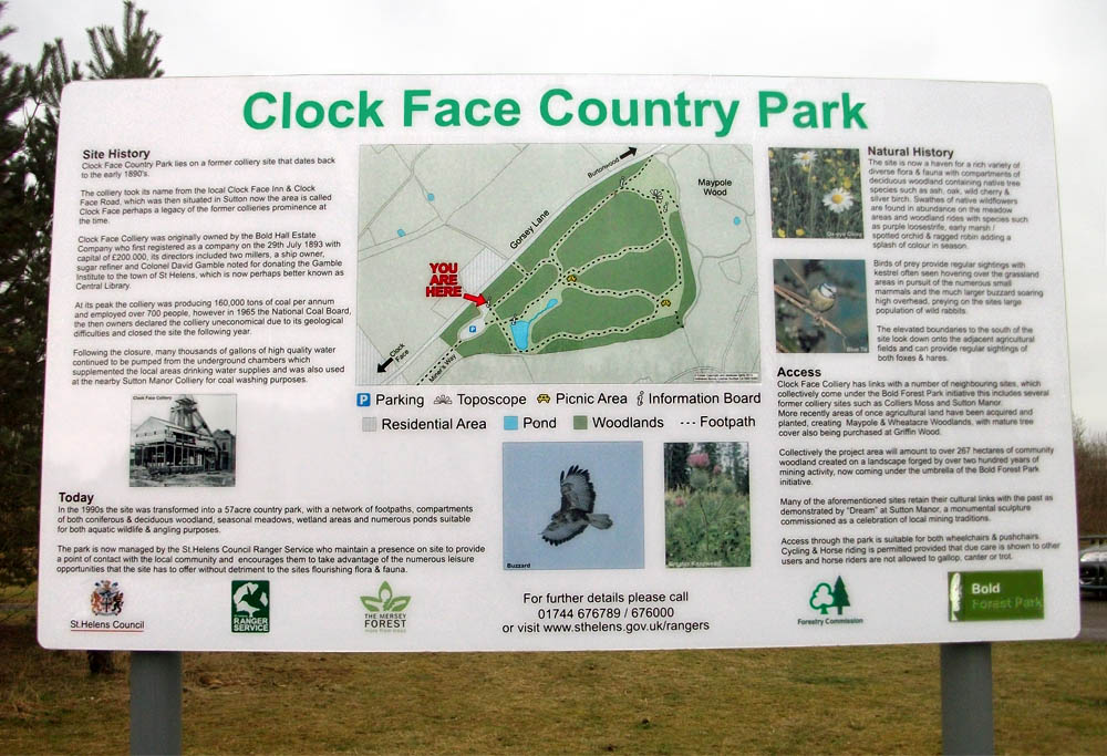
Clock Face Country Park is on the site of a former colliery that dates back to 1890. By the early 1960s the mine was producing over 160,000 tons of coal a year and employing over 700 men. However, in October 1965 the National Coal Board deemed the pit uneconomic and announced that the colliery would close in the following year. (View History of Clock Face Colliery here)
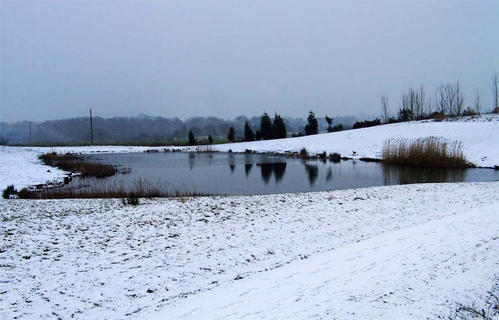
The 57-acre Clock Face Country Park in St.Helens can look beautiful when it snows

The 57-acre Clock Face Country Park can look beautiful when it snows

The park can look beautiful in snow
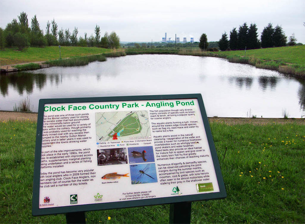
The Country Park fishing pond is locally known as 'The Pit’ and is managed by Clock Face Anglers Club

The Clock Face Country Park fishing pond is locally known as 'The Pit’

The fishing pond is known as 'The Pit’
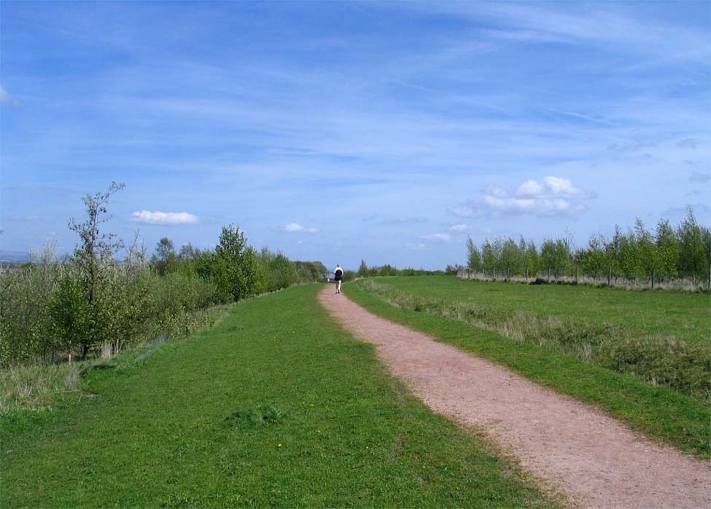
A jogger on a perimeter path in the 57-acre Clock Face Country Park in St.Helens

A jogger on a perimeter path in the Clock Face Country Park

A jogger on a park perimeter path
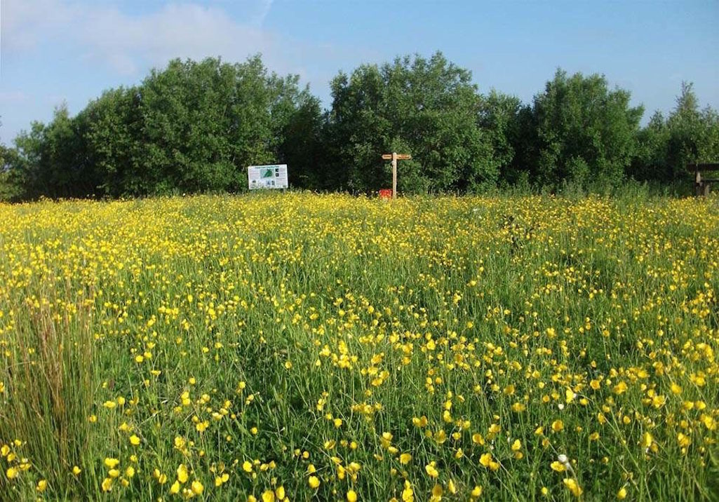
Beautiful wild flower meadow in the Clock Face Country Park in St.Helens

Beautiful wild flower meadow in the Clock Face Country Park

Beautiful wild flower meadow

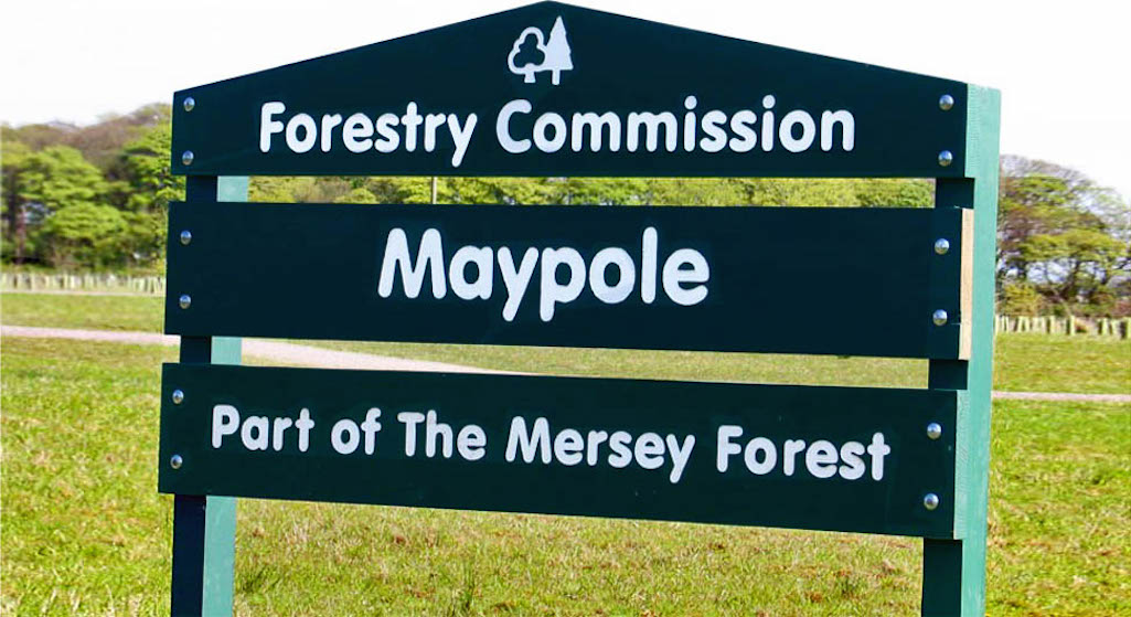
Maypole Wood by Clock Face Country Park
Adjacent to the Clock Face Country Park in Gorsey Lane is Maypole Wood which is named after the neighbouring Maypole Farm and district, with Maypole originally being a Bold hamlet that has been traced back to 1786. The Forestry Commission acquired the Maypole Farm land in May 2001. Two years later it planted thousands of trees, plus a willow coppice that is used for willow weaving in the local area. It forms part of the expanding Mersey Forest and is a developing woodland with trees, meadows, paths and wildlife.
Wildlife that is known to inhabit Maypole Wood includes dragonflies, rabbits, foxes, roe deer, kestrels, buzzards and sparrow hawks. There are a number of benches which have been installed at designated points, so that walkers can take a break and admire the rapidly growing trees, as well as enjoy the birdsong and wildlife. Maypole is sandwiched between the large country park and Griffin Wood, at the bottom of Hall Lane, with its remarkable sculpture trail. Combining the three together makes for a superb walk or cycle.
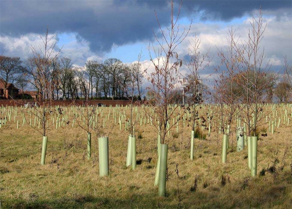
Some of the young trees in Maypole Wood two years after planting - photographed in February 2005

Some of the young trees in Maypole Wood two years after planting

Young trees two years after planting
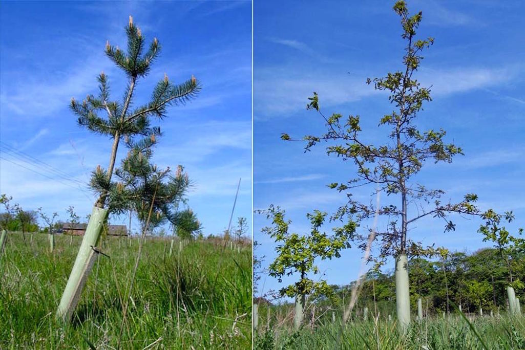
The flourishing trees in Maypole Wood adjacent to Clock Face Country Park - photographed in May 2007

The flourishing trees in Maypole Wood photographed in May 2007

The flourishing trees in 2007
The Forestry Commission's Notice on the Site States:
'Welcome to this Forestry Commission community woodland. Whether walking the dog or riding through take a moment to relax amidst this mosaic of woods, grassland and wet meadow. Watch finches on the seed heads or buzzards hunting rabbits. Listen for the "little bit of bread and no cheese" call of yellowhammer or just the buzz of bees amongst the wildflowers and trees. In the centre are willow beds where different weaving varieties are being grown.'
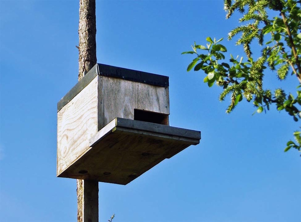
Bird box intended for barn owls on a tall, heavy pole in Maypole Wood - photographed in 2013

Bird box intended for barn owls on a tall, heavy pole in Maypole Wood

Bird box intended for barn owls
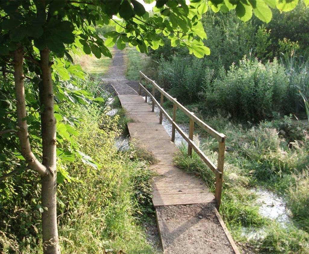
Walkway which connects Maypole Wood with the Clock Face Country Park - photographed in July 2013

Walkway which connects Maypole Wood with Clock Face Country Park

Connecting Maypole and Country Park
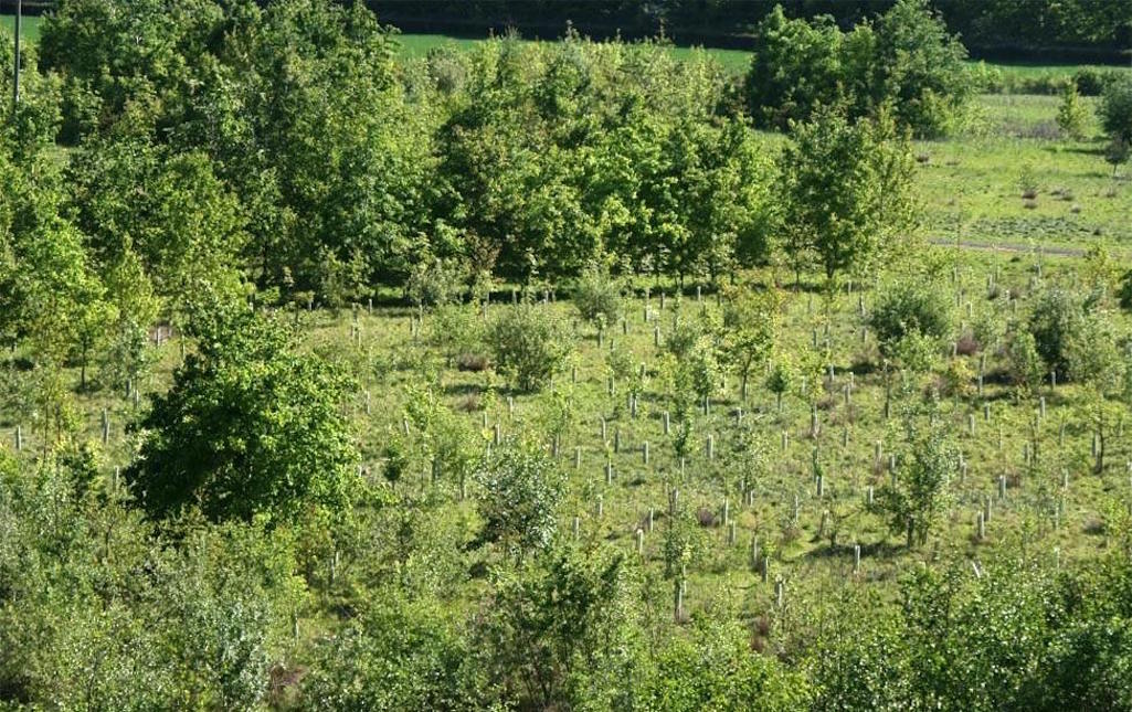
The flourishing Maypole Wood photographed from Clock Face Country Park in May 2011

The flourishing Maypole Wood pictured from the country park

The flourishing Maypole Wood
Click Here for Mersey Forest's Walking Map fact sheet with more details on Maypole Wood
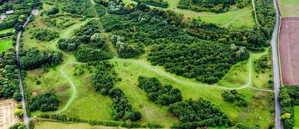
By 2015 the Maypole Wood trees had matured considerably - Photo by Jon Morgan for Sutton Beauty & Heritage

By 2015 the Maypole Wood trees had matured considerably

The Maypole Wood trees in 2015
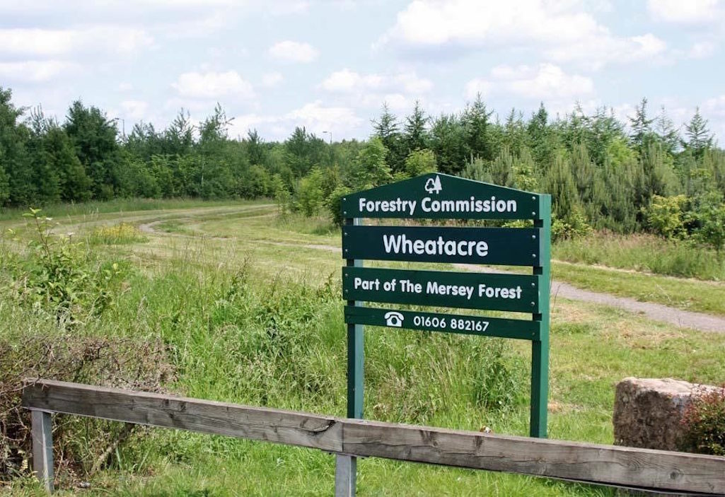
Wheatacre Woodland
It's also worth featuring Wheatacre here as like the other community woodlands, it's in close proximity to the Clock Face Colliery Country Park. The main entrance is off Gorsey Lane and the site is sandwiched between Colliers Moss and Burtonwood and runs alongside the Bold Business Centre. It's named after Wheatacre(s) Farm which in 1862 covered 64 acres. The Forestry Commission acquired the site in February 1998 and converted it into a woodland. Click Here for Mersey Forest's Wheatacre walking map fact sheet.
The Forestry Commission's Notice on the Site States:
'Created from farmland and now open for everyone to enjoy, there is something for you here whatever your age. Kick a ball about, gather with your mates at a bench or just stroll through listening to the larks. Walk the dog or admire the wildflowers and ponds, butterflies and dragonflies. Or ride your horse or bike through to other nearby open spaces.'
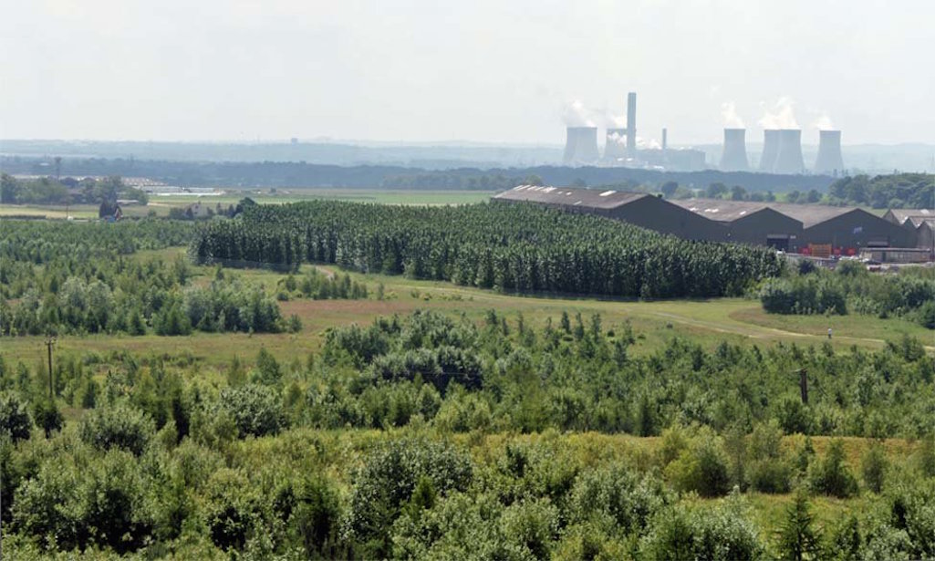
A high-angle view of Wheatacre woodland with Fiddlers Ferry power station in the background

A high-angle view of Wheatacre with Fiddlers Ferry in the background

A high-angle view of Wheatacre
Clock Face Country Park Contact Details:
St Helens Council Civic Pride & Community Spaces Section: Tel. 01744 456123 Forestry Commission (responsibility for Maypole & Wheatacre) 01606 884937; FC Site Ranger: Phil Lee phil.lee@forestry.gsi.gov.uk Tel. 075543 33548
More About Clock Face and the Country Park:
Copyright Notice / Factual Accuracy Statement
This website has been written and researched and many images photographed by myself, Stephen Wainwright, the Sutton Beauty & Heritage site owner. Individuals from all over the world have also kindly contributed their own photographs. If you wish to reuse any image, please contact me first as permission may be needed from the copyright owner. High resolution versions of many pictures can also be supplied at no charge. Please also contact me if you can provide any further information or photographs concerning Sutton, St.Helens. You might also consider contributing your recollections of Sutton for the series of Memories pages. Sutton Beauty & Heritage strives for factual accuracy at all times. Do also get in touch if you believe that there are any errors. I respond quickly to emails and if you haven't had a response within twelve hours, check your junk mail folder or resend your message. Thank you! SRW 